Alpine Weather
28/10/2016
As an International Mountain Leader and being responsible for guiding groups in the Alps during the summer and winter understanding weather is a critical factor of the job, whether it be from a client safety point of view or to just maximise enjoyment during the trek.
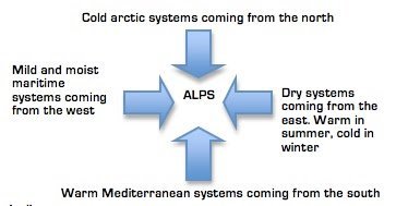
Situated in the centre of Europe the European Alps deflect large-scale weather systems resulting in rapidly changing weather patterns.
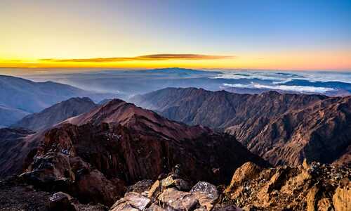
Typically in summer the weather warm and hot in the valleys and cooler high up, the build up of heat in the valleys during the day often creates cumulous cloud build up by late afternoon with the risk of thunderstorms. When in the mountains in summer the policy is to be up and out early and be at your destination by the time the weather breaks.
This typical pattern is caused by anabatic winds during the day: Anabatic winds are valley breezes caused by temperature build up pushing warm air up the valleys onto the mountains. These warm breezes are the cause of the cumulus cloud growth and potential thunderstorm risk.
In the evening the situation reverses and Katabatic winds take affect. Kanabatic winds are caused when cooler air sinks pushing down into the valleys creating a downward breeze.
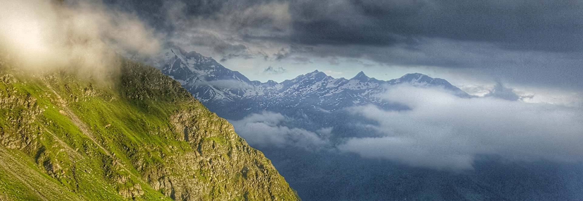
In winter common high-pressure can be dominant, although the temperatures are cold, the air is cooler in the valleys due to lack of sun penetration within the steep sided valleys. As the cold moist air sinks cloud builds up resulting in cloud inversions (low cloud in valley bottom, blue skies high up).
The Foehn wind is a common factor in the Alps although it occurs throughout the year it has more detrimental affect in winter causing shifting of snow, increase in temperature creating unstable snow conditions. Low pressure pushes up the windward side of a mountain range, then warmed by compression as the system moves over the top of the range and finally dumped over the leeward slopes creating a strong warm wind that can last for a number of days. Temperature can increase by as much as 15 to 20 degrees.
Other notable weather signs are the Lenticular clouds, for example: ‘le chapeau de Mont Blanc’ or the ‘hat of Mont Blanc’. Unique to high mountains they are created by high altitude winds (although they look static in appearance) being forced over the obstacle. They can be a weather predictor indicating the onset of bad weather or the start of the foehn wind.
For further information on the kind of weather you might expect whilst trekking on one of our routes the contact: sara@montblanctreks.com
About the Author