29/10/2024
One of my favorite local hiking areas is above the Aosta Valley in the Gran Paradiso National Park along the Alta Via 2. Why? It’s simple—it's stunningly beautiful, incredibly quiet, and it’s in Italy! What’s not to love about the warm welcome, fantastic food, wine, and coffee?
It’s no surprise that the Alta Via 1, also known as The Giants' Trail, has been on my agenda for a while. Although I know snippets from other hikes, I've never walked the route in its entirety.
This summer, I finally set aside some time to explore the other side of the Aosta Valley.
Both the AV1 and AV2 connect with other well-known routes, such as the Tour du Monte Rosa, the Tour of the Grand Combin, and—last but certainly not least—the Tour du Mont Blanc. I was excited to see how this route fit into the larger topographical puzzle, and I wasn’t disappointed!
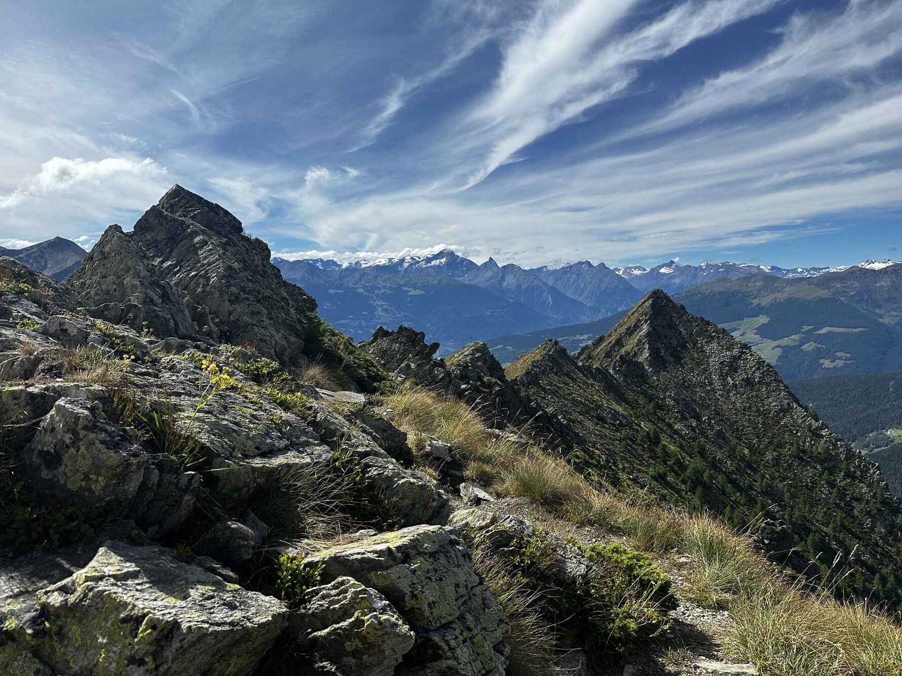
Why is it called the Giants' Trail? Because the route passes by some of the massive Alpine giants, including Monte Rosa, the Matterhorn, the Gran Combin, and Mont Blanc, to name a few. It’s a 180-kilometer route stretching from Donas in the south of the Aosta Valley to Courmayeur in the north. Along the way, the trail winds through high alpine wilderness, rugged terrain, middle-mountain alpages, and picturesque valleys and villages. With 14,000 meters of elevation gain and descent, this 180-kilometer journey isn’t for the faint-hearted—but we love a challenge!
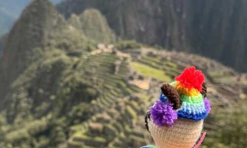
Not having time to tackle the entire route this summer, I decided to hike the section between Valpelline and Courmayeur. This stretch intrigued me the most, as I wanted to see how the route connects the Grand St Bernard area to the Val Ferret. Armed with a handful of friends (and Mabel), we were in for a treat!
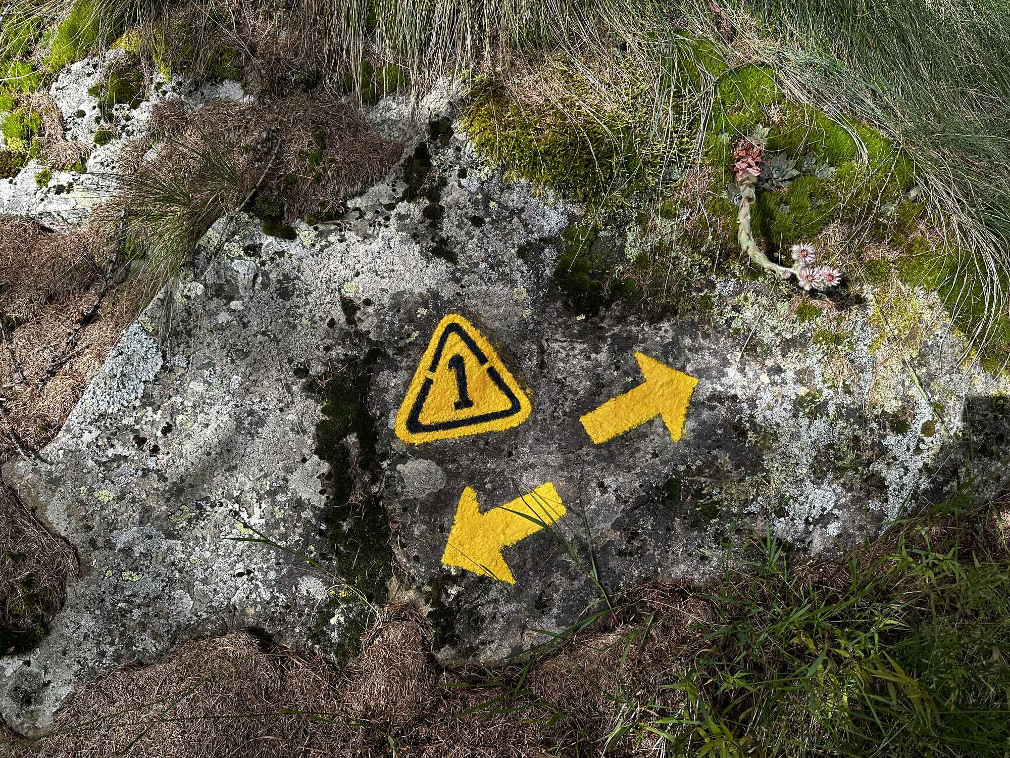
Day 1: Valpelline, Closé to Ollomont
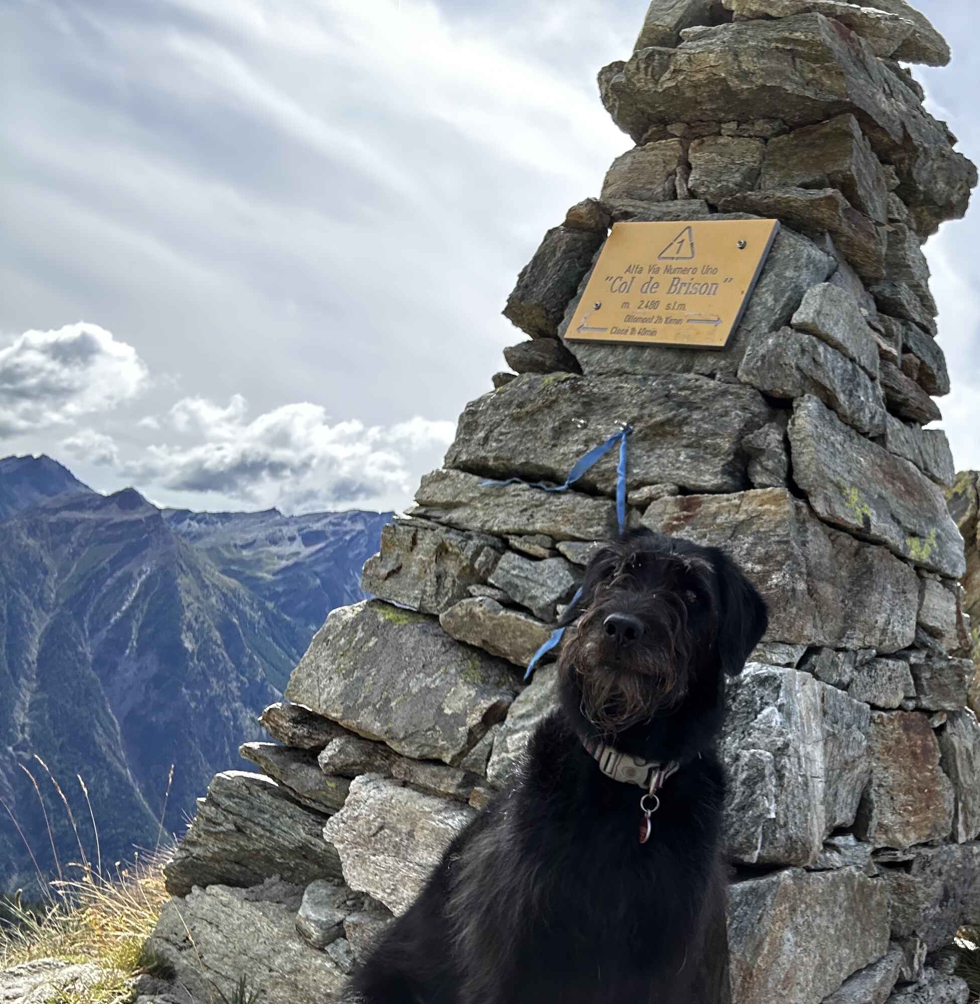
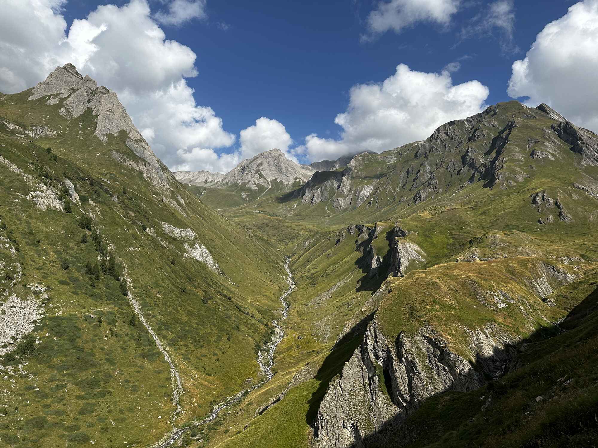
An early morning bus from Valpelline took us to our starting point at Closé. We climbed up through woodlands into steeper, more open terrain. A beautiful, high-altitude traverse led us to Col de Brison at 2,480 meters, offering fabulous views toward Gran Paradiso and Mont Blanc. From here, it was all downhill—the trail descended steeply, taking us into the Ollomont valley.
Distance: 11k Height gain: 1080m Descent: 1150m
Day 2: Ollomont to St Rhemy en Bosses
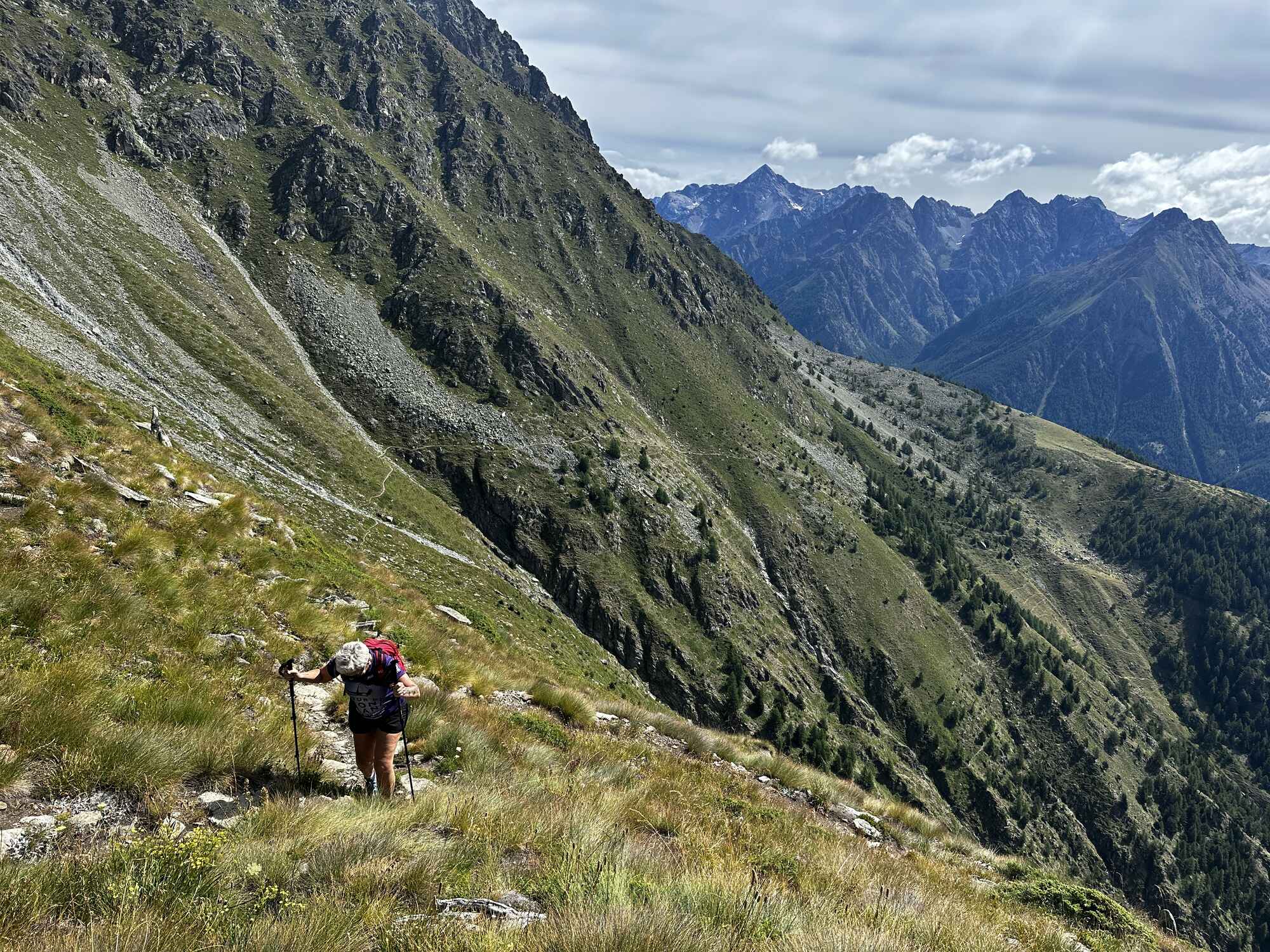
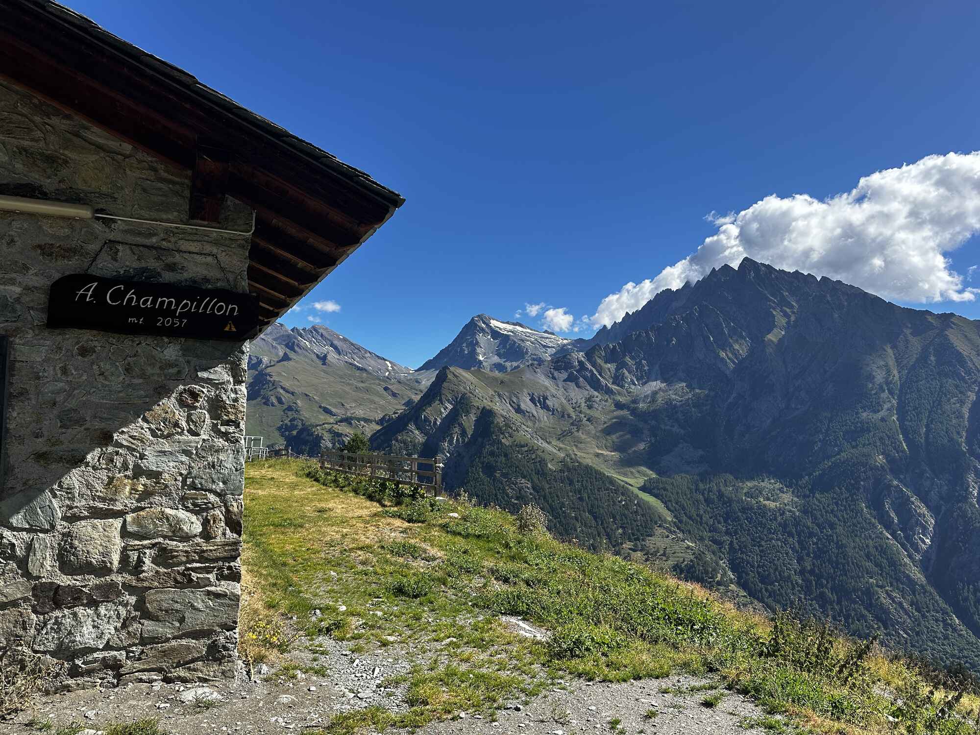
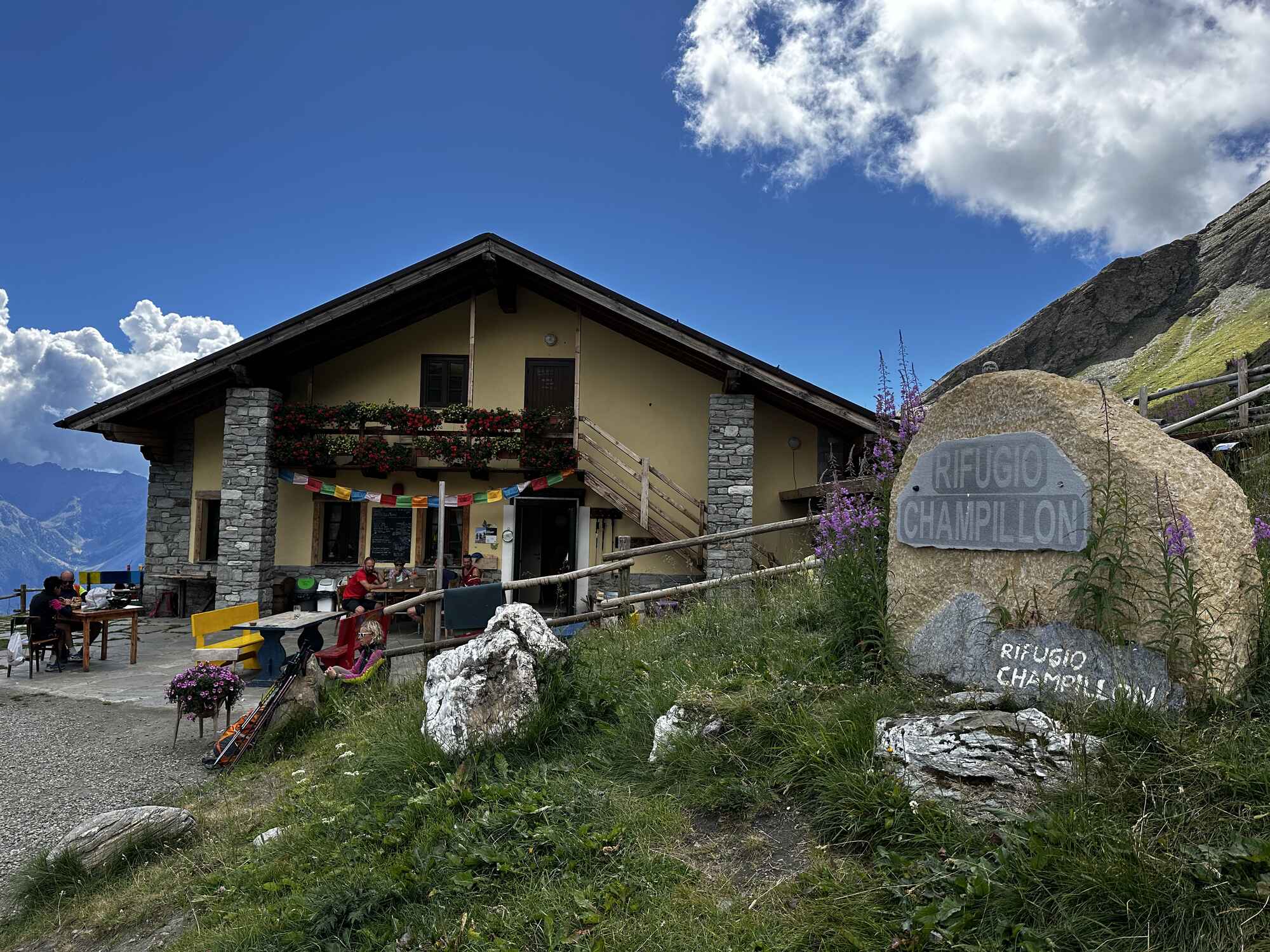
Whichever way we looked at it, this was going to be a tough day! We combined two guidebook days into one to save time—yikes! We began with a steep climb through woodlands, reaching open ground at Arp Champillon (2,057m). A further 400m ascent brought us to our refreshment stop at Rifugio Champillon (2,465m). Though the climb was steep and hot, the views were stupendous!
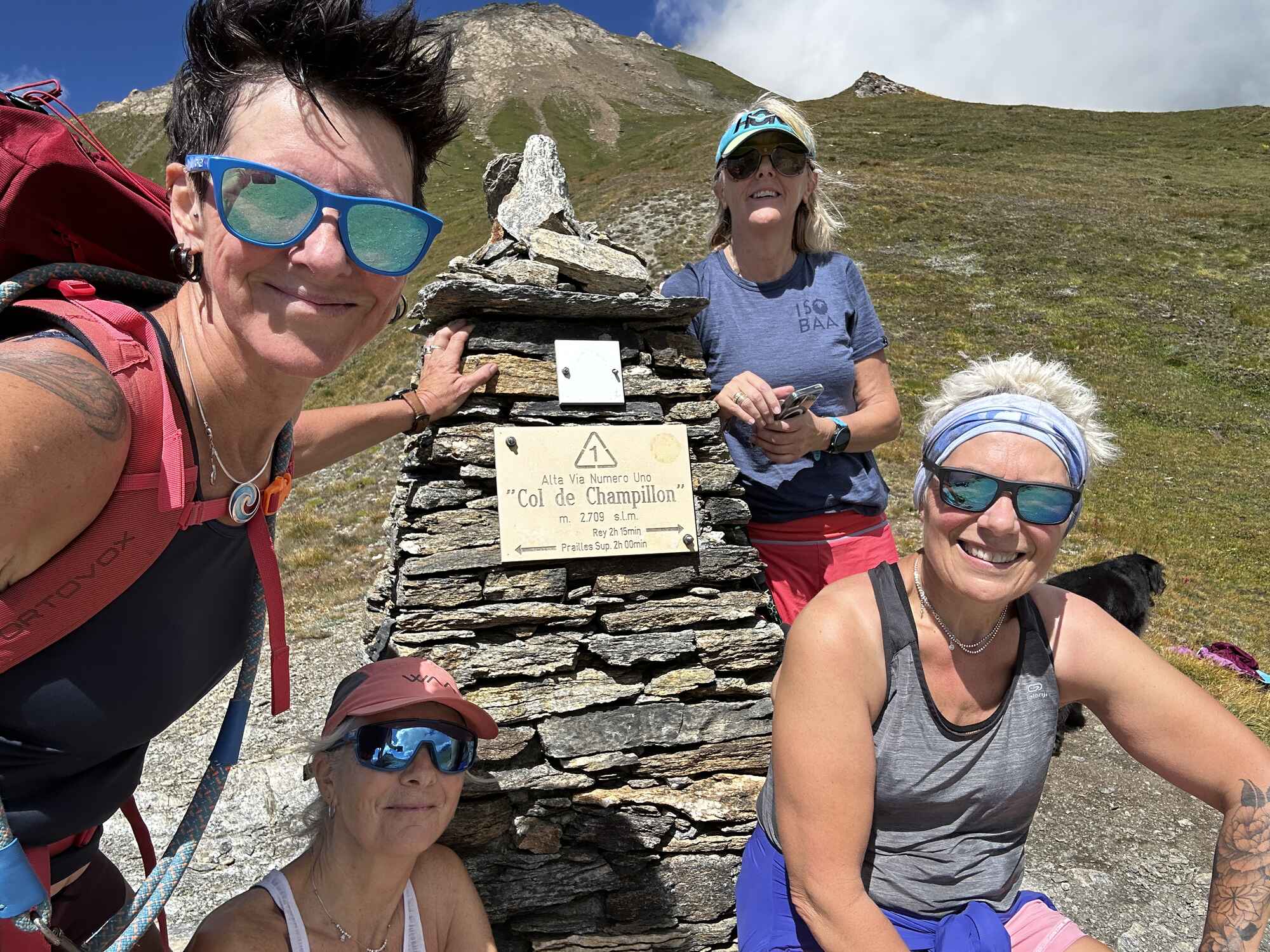
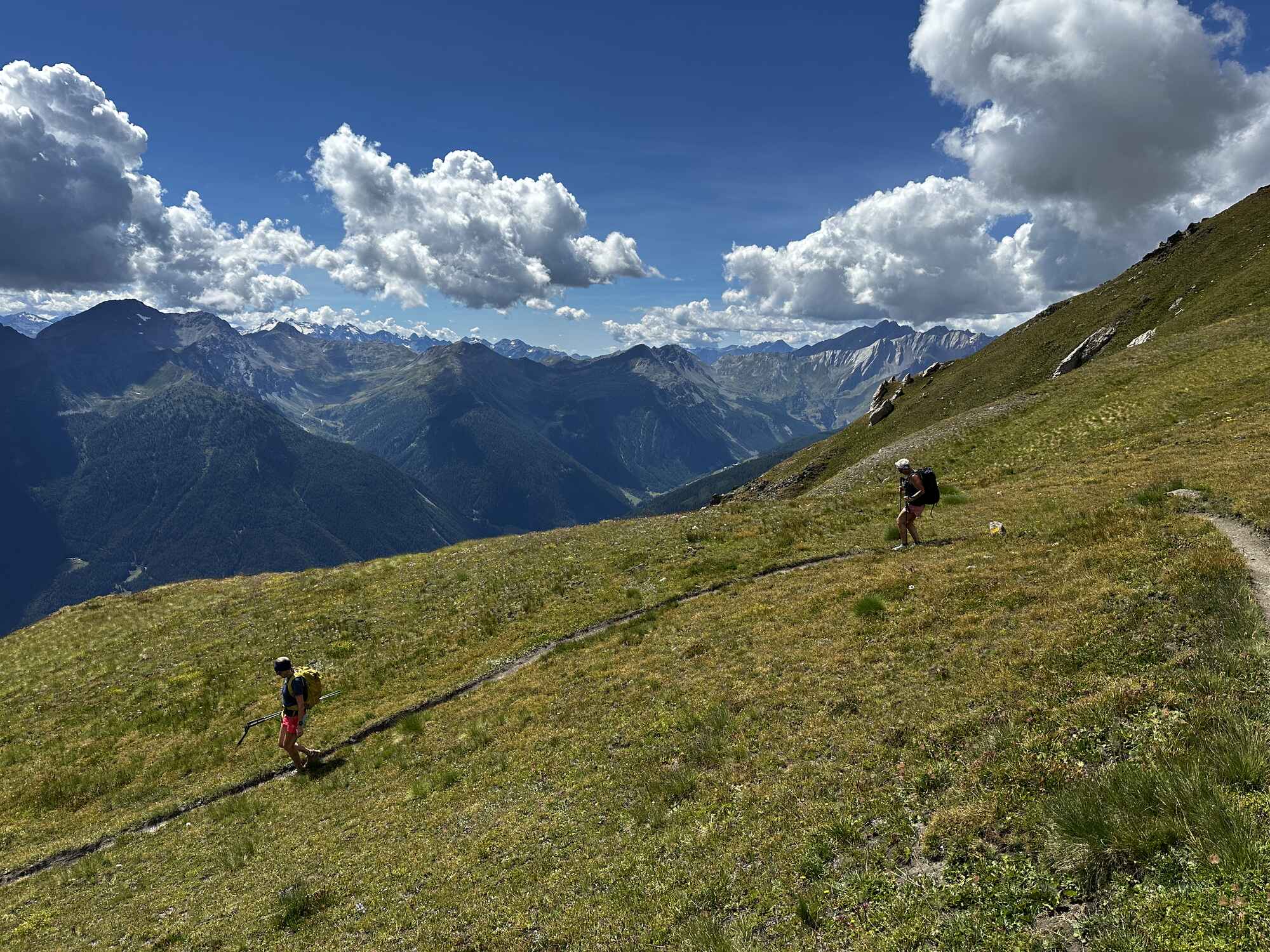
Reluctantly leaving the comfort of the terrace, we tackled the final ascent to the col at 2,709m, rewarded with fabulous views of the Grand Combin, Mont Blanc, and the Gran Paradiso National Park. But our day was far from over—St Rhemy en Bosses was still a long way off. A steep descent to Pointelles Dessous (1,807m) was followed by an undulating trail that seemed endless. At last, we arrived at our hotel in St Rhemy en Bosses.
Distance: 20k Height gain: 1660m Descent: 1300m
Day 3: St Rhemy en Bosses to Rifugio Bonatti, Val Ferret
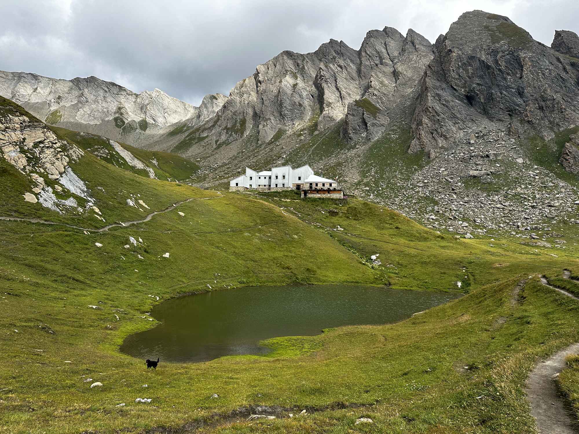
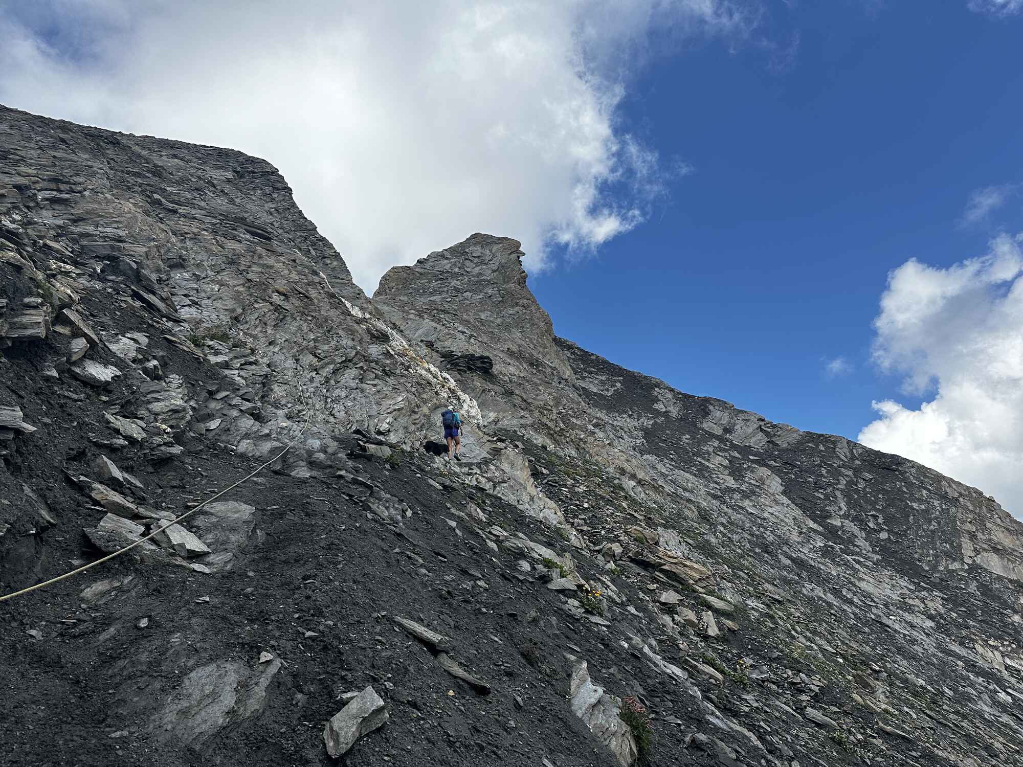
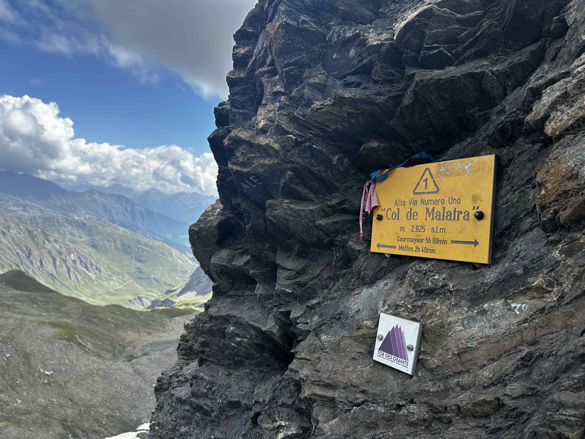
A day of intrigue—how do these valleys connect? We left St Rhemy en Bosses early to avoid potential afternoon thunderstorms on the col. Shortly after leaving the village, we made our way up the Belle Combe valley to our mid-morning refreshment stop at the beautifully run Rifugio Frassati (2,551m). This refuge is a gem and highly recommended for an overnight stay. Built and managed by a team of volunteers, the staff couldn’t have been more friendly and accommodating. Fueled by Italian coffee and cake, we continued our ascent to the Col de Malatra (2,925m). A final steep section with in-situ chains led us to the narrow passage connecting us to the other side!
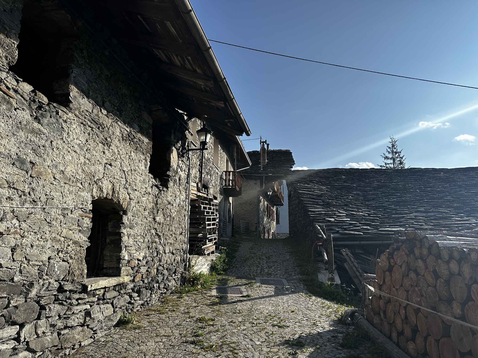
A beautiful descent with stunning views guided us down toward the Val Ferret and Rifugio Bonatti.
Distance: 17k Height gain: 1320m Descent: 900m
Day 4: Val Ferret to Courmayeur
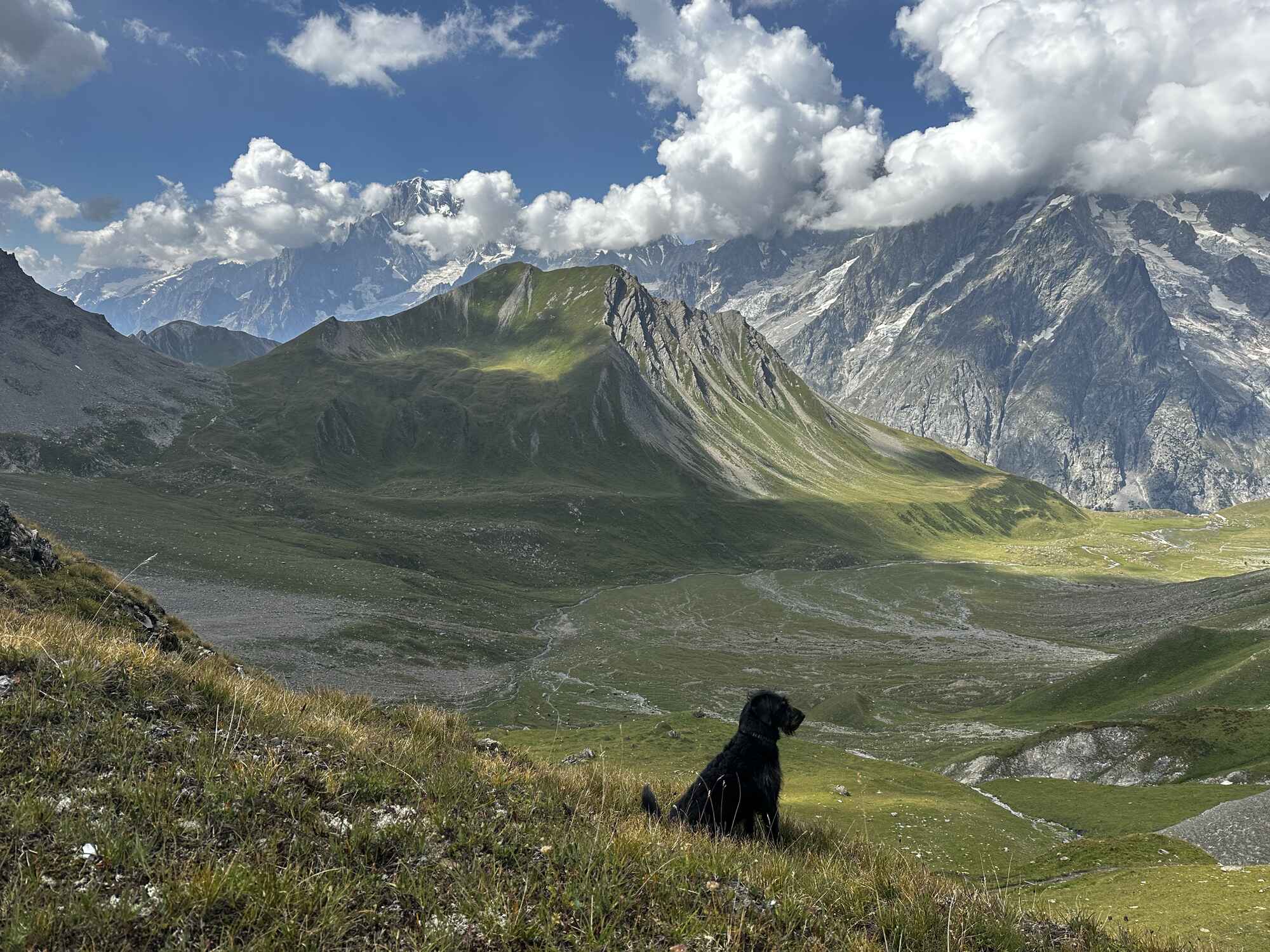
A truly fabulous day, albeit a shock to the system as we left the quiet trails behind and joined the bustling Tour du Mont Blanc route back to Courmayeur. We enjoyed a beautiful, high traverse above the Val Ferret with stunning views of the Mont Blanc Massif. A welcome refreshment stop at Rifugio Bertone provided a break before the final steep descent into the gorgeous Italian Alpine town of Courmayeur.
Distance: 13k Height gain: 100m Descent: 950m
I plan to do the second half during summer 2025, once done, we will offer this as a self-guided option. Watch this space!
In the meantime any questions contact me at sara@montblanctreks.com
